After Apple has improved its own navigation software, the market leader Google has followed suit. Google Maps is to receive many new features, which are not only visual but also functional, as part of a major update.
Long waiting time for major update
Of course, the update is not the very first for the popular map service. Nevertheless, Google is rolling out an update here that has probably never been available in size for the maps service. But Google Maps has meanwhile been in operation for 15 years. The focus of the update is clearly on visual improvements to the existing map material. For example, there should be far more details about the surroundings. This will make it easier for the user to perceive the exact appearance of a certain area.
Details from Google
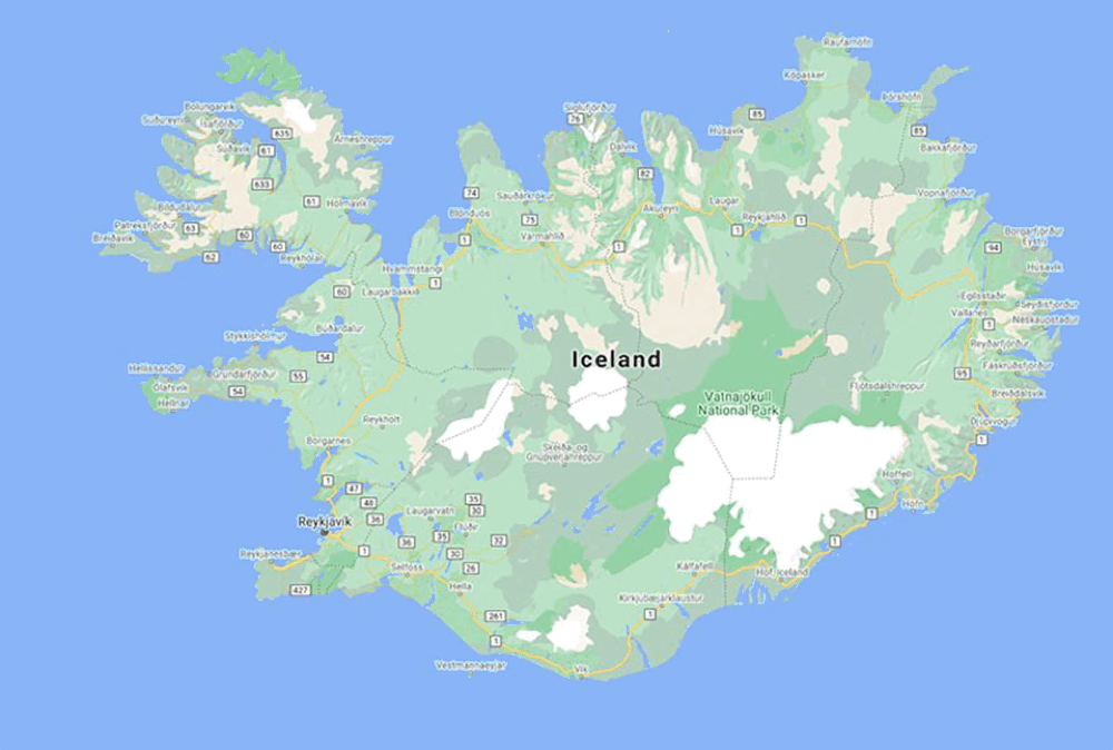
The Internet giant now possesses satellite images of 98% of the entire earth’s surface. But this does not seem to be enough to meet its own requirements. Accordingly, Google has developed a special algorithm, which is primarily intended to make the maps more vivid and comprehensive. In the course of this, Google promises that when exploring a place, one should be able to specifically view the natural conditions of the surrounding area. For example, it should now be possible to see very clear differences between a sandy beach and the adjacent sea. The same applies to other natural conditions. It should even be possible to see the snow on a mountain peak.
Update comes in all countries
The update for Google Maps should by no means only appear in selected regions. Google wants to publish the update of the maps in 220 countries. This includes all countries where the service is available. In total, the new map material should cover more than 100 million square kilometres. To illustrate: This corresponds to the size of 18 billion soccer fields.
Even on the road you benefit
The update focuses not only on natural conditions. Google also wants to improve road traffic use. Considering the increasing number of vehicles with smart controls, this step is very welcome and understandable. Accordingly, the features for CarPlay and Apple Watch will be more in focus in the future. For example, the service wants to improve the street view in certain areas. The aim is to be able to display as much information as possible in the most uncomplicated way. This also applies to the representation of the dimensions of the street. In this way it should be possible to display the sizes true to scale.
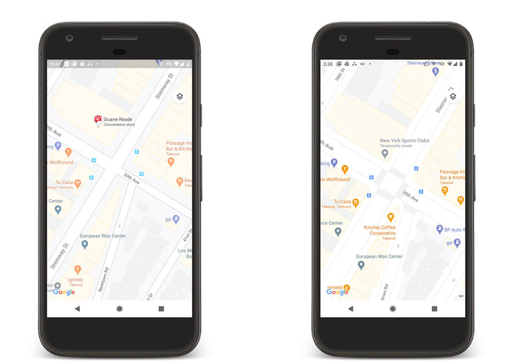
In the future it will also be possible to see, for example, whether there are zebra crossings at an intersection. Google even wants to make sidewalks and pedestrian islands visible. This will be of great benefit to road users with special needs such as wheelchair users or people with a pram. But before we in Germany can benefit from these features, it will probably take some time. For the time being, the detailed street information is reserved for the metropolises of New York, London and San Francisco and will be rolled out in the coming months. However, other cities are also expected to benefit from the practical additional information gradually.